Bayesian modelling & inference
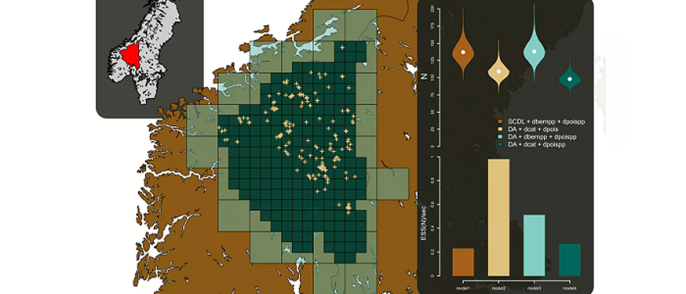
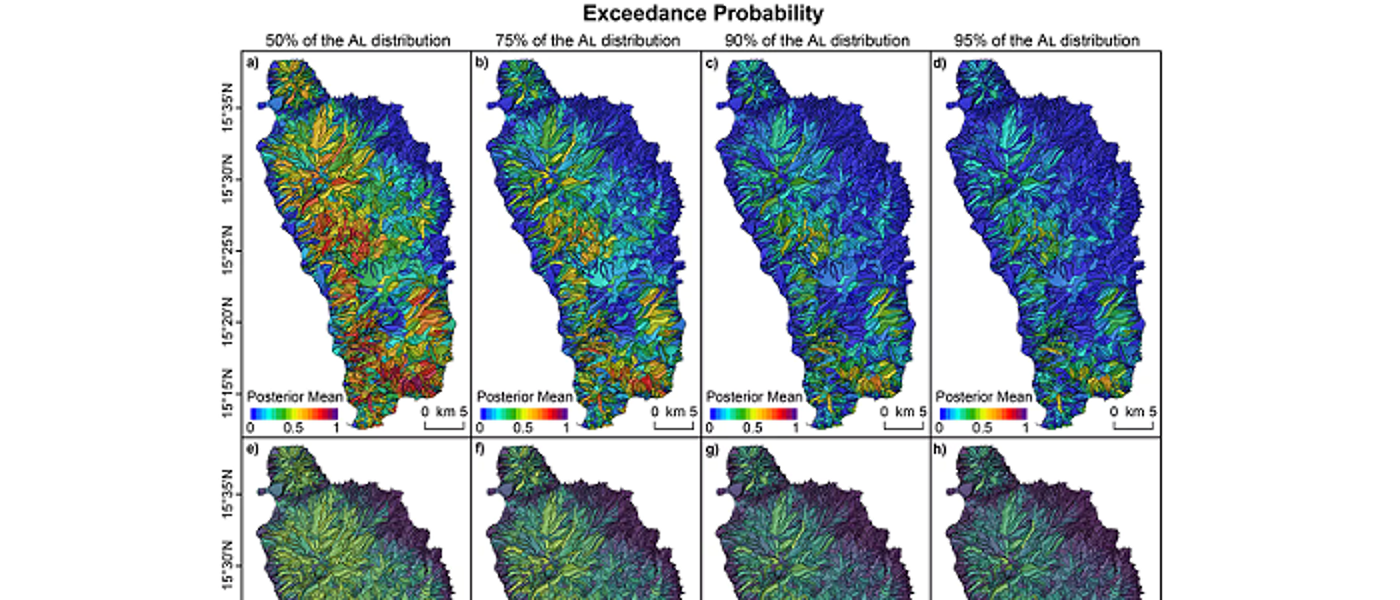
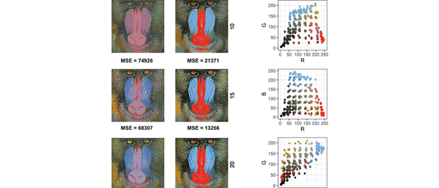
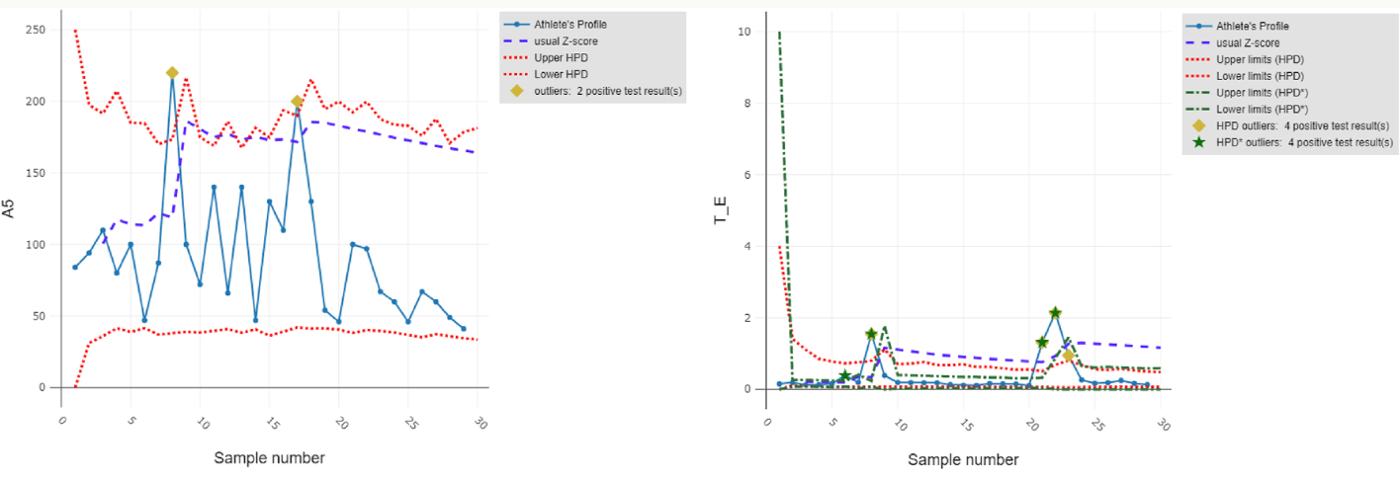
Bayesian approaches developed in the group provide scientifically rigorous methodologies to address complex questions from many fields, incorporating information from multiple sources and types of data, and accounting for various sources of uncertainty.
Staff
Postgraduate research students
Refine By
-
{{student.surname}} {{student.forename}}
{{student.surname}} {{student.forename}}
({{student.subject}})
{{student.title}}
Bayesian Modelling and Inference - Example Research Projects
Information about postgraduate research opportunities and how to apply can be found on the Postgraduate Research Study page. Below is a selection of projects that could be undertaken with our group.
Modelling genetic variation (MSc/PhD)
Supervisors: Vincent Macaulay
Relevant research groups: Bayesian Modelling and Inference, Statistical Modelling for Biology, Genetics and *omics
Variation in the distribution of different DNA sequences across individuals has been shaped by many processes which can be modelled probabilistically, processes such as demographic factors like prehistoric population movements, or natural selection. This project involves developing new techniques for teasing out information on those processes from the wealth of raw data that is now being generated by high-throughput genetic assays, and is likely to involve computationally-intensive sampling techniques to approximate the posterior distribution of parameters of interest. The characterization of the amount of population structure on different geographical scales will influence the design of experiments to identify the genetic variants that increase risk of complex diseases, such as diabetes or heart disease.
The evolution of shape (PhD)
Supervisors: Vincent Macaulay
Relevant research groups: Bayesian Modelling and Inference, Modelling in Space and Time, Statistical Modelling for Biology, Genetics and *omics
Shapes of objects change in time. Organisms evolve and in the process change form: humans and chimpanzees derive from some common ancestor presumably different from either in shape. Designed objects are no different: an Art Deco tea pot from the 1920s might share some features with one from Ikea in 2010, but they are different. Mathematical models of evolution for certain data types, like the strings of As, Gs , Cs and Ts in our evolving DNA, are quite mature and allow us to learn about the relationships of the objects (their phylogeny or family tree), about the changes that happen to them in time (the evolutionary process) and about the ways objects were configured in the past (the ancestral states), by statistical techniques like phylogenetic analysis. Such techniques for shape data are still in their infancy. This project will develop novel statistical inference approaches (in a Bayesian context) for complex data objects, like functions, surfaces and shapes, using Gaussian-process models, with potential application in fields as diverse as language evolution, morphometrics and industrial design.
New methods for analysis of migratory navigation (PhD)
Supervisors: Janine Illian, Dr Urška Demšar (University of St Andrews)
Relevant research groups: Modelling in Space and Time, Bayesian Modelling and Inference, Computational Statistics, Environmental, Ecological Sciences and Sustainability
Migratory birds travel annually across vast expanses of oceans and continents to reach their destination with incredible accuracy. How they are able to do this using only locally available cues is still not fully understood. Migratory navigation consists of two processes: birds either identify the direction in which to fly (compass orientation) or the location where they are at a specific moment in time (geographic positioning). One of the possible ways they do this is to use information from the Earth’s magnetic field in the so-called geomagnetic navigation (Mouritsen, 2018). While there is substantial evidence (both physiological and behavioural) that they do sense magnetic field (Deutschlander and Beason, 2014), we however still do not know exactly which of the components of the field they use for orientation or positioning. We also do not understand how rapid changes in the field affect movement behaviour.
There is a possibility that birds can sense these rapid large changes and that this may affect their navigational process. To study this, we need to link accurate data on Earth’s magnetic field with animal tracking data. This has only become possible very recently through new spatial data science advances: we developed the MagGeo tool, which links contemporaneous geomagnetic data from Swarm satellites of the European Space Agency with animal tracking data (Benitez Paez et al., 2021).
Linking geomagnetic data to animal tracking data however creates a highly-dimensional data set, which is difficult to explore. Typical analyses of contextual environmental information in ecology include representing contextual variables as co-variates in relatively simple statistical models (Brum Bastos et al., 2021), but this is not sufficient for studying detailed navigational behaviour. This project will analyse complex spatio-temporal data using computationally efficient statistical model fitting approches in a Bayesian context.
This project is fully based on open data to support reproducibility and open science. We will test our new methods by annotating publicly available bird tracking data (e.g. from repositories such as Movebank.org), using the open MagGeo tool and implementing our new methods as Free and Open Source Software (R/Python).
Integrated spatio-temporal modelling for environmental data (PhD)
Supervisors: Janine Illian, Peter Henrys (UKCEH)
Relevant research groups: Modelling in Space and Time, Bayesian Modelling and Inference, Computational Statistics, Environmental, Ecological Sciences and Sustainability
The last decade has seen a proliferation of environmental data with vast quantities of information available from various sources. This has been due to a number of different factors including: the advent of sensor technologies; the provision of remotely sensed data from both drones and satellites; and the explosion in citizen science initiatives. These data represent a step change in the resolution of available data across space and time - sensors can be streaming data at a resolution of seconds whereas citizen science observations can be in the hundreds of thousands.
Over the same period, the resources available for traditional field surveys have decreased dramatically whilst logistical issues (such as access to sites, ) have increased. This has severely impacted the ability for field survey campaigns to collect data at high spatial and temporal resolutions. It is exactly this sort of information that is required to fit models that can quantify and predict the spread of invasive species, for example.
Whilst we have seen an explosion of data across various sources, there is no single source that provides both the spatial and temporal intensity that may be required when fitting complex spatio-temporal models (cf invasive species example) - each has its own advantages and benefits in terms of information content. There is therefore potentially huge benefit in beginning together data from these different sources within a consistent framework to exploit the benefits each offers and to understand processes at unprecedented resolutions/scales that would be impossible to monitor.
Current approaches to combining data in this way are typically very bespoke and involve complex model structures that are not reusable outside of the particular application area. What is needed is an overarching generic methodological framework and associated software solutions to implement such analyses. Not only would such a framework provide the methodological basis to enable researchers to benefit from this big data revolution, but also the capability to change such analyses from being stand alone research projects in their own right, to more operational, standard analytical routines.
FInally, such dynamic, integrated analyses could feedback into data collection initiatives to ensure optimal allocation of effort for traditional surveys or optimal power management for sensor networks. The major step change being that this optimal allocation of effort is conditional on other data that is available. So, for example, given the coverage and intensity of the citizen science data, where should we optimally send our paid surveyors? The idea is that information is collected at times and locations that provide the greatest benefit in understanding the underpinning stochastic processes. These two major issues - integrated analyses and adaptive sampling - ensure that environmental monitoring is fit for purpose and scientists, policy and industry can benefit from the big data revolution.
This project will develop an integrated statistical modelling strategy that provides a single modelling framework for enabling quantification of ecosystem goods and services while accounting for the fundamental differences in different data streams. Data collected at different spatial resolutions can be used within the same model through projecting it into continuous space and projecting it back into the landscape level of interest. As a result, decisions can be made at the relevant spatial scale and uncertainty is propagated through, facilitating appropriate decision making.
Statistical methodology for assessing the impacts of offshore renewable developments on marine wildlife (PhD)
Supervisors: Janine Illian, Esther Jones (BIOSS), Adam Butler (BIOSS)
Relevant research groups: Modelling in Space and Time, Bayesian Modelling and Inference, Computational Statistics, Environmental, Ecological Sciences and Sustainability
Assessing the impacts of offshore renewable developments on marine wildlife is a critical component of the consenting process. A NERC-funded project, ECOWINGS, will provide a step-change in analysing predator-prey dynamics in the marine environment, collecting data across trophic levels against a backdrop of developing wind farms and climate change. Aerial survey and GPS data from multiple species of seabirds will be collected contemporaneously alongside prey data available over the whole water column from an automated surface vehicle and underwater drone.
These methods of data collection will generate 3D space and time profiles of predators and prey, creating a rich source of information and enormous potential for modelling and interrogation. The data present a unique opportunity for experimental design across a dynamic and changing marine ecosystem, which is heavily influenced by local and global anthropogenic activities. However, these data have complex intrinsic spatio-temporal properties, which are challenging to analyse. Significant statistical methods development could be achieved using this system as a case study, contributing to the scientific knowledge base not only in offshore renewables but more generally in the many circumstances where patchy ecological spatio-temporal data are available.
This PhD project will develop spatio-temporal modelling methodology that will allow user to anaylse these exciting - and complex - data sets and help inform our knowledge on the impact of off-shore renewable on wildlife.
Bayesian variable selection for genetic and genomic studies (PhD)
Supervisors: Mayetri Gupta
Relevant research groups: Bayesian Modelling and Inference, Computational Statistics, Statistical Modelling for Biology, Genetics and *omics
An important issue in high-dimensional regression problems is the accurate and efficient estimation of models when, compared to the number of data points, a substantially larger number of potential predictors are present. Further complications arise with correlated predictors, leading to the breakdown of standard statistical models for inference; and the uncertain definition of the outcome variable, which is often a varying composition of several different observable traits. Examples of such problems arise in many scenarios in genomics- in determining expression patterns of genes that may be responsible for a type of cancer; and in determining which genetic mutations lead to higher risks for occurrence of a disease. This project involves developing broad and improved Bayesian methodologies for efficient inference in high-dimensional regression-type problems with complex multivariate outcomes, with a focus on genetic data applications.
The successful candidate should have a strong background in methodological and applied Statistics, expert skills in relevant statistical software or programming languages (such as R, C/C++/Python), and also have a deep interest in developing knowledge in cross-disciplinary topics in genomics. The candidate will be expected to consolidate and master an extensive range of topics in modern Statistical theory and applications during their PhD, including advanced Bayesian modelling and computation, latent variable models, machine learning, and methods for Big Data. The successful candidate will be considered for funding to cover domestic tuition fees, as well as paying a stipend at the Research Council rate for four years.
Bayesian statistical data integration of single-cell and bulk “OMICS” datasets with clinical parameters for accurate prediction of treatment outcomes in Rheumatoid Arthritis (PhD)
Supervisors: Mayetri Gupta
Relevant research groups: Bayesian Modelling and Inference, Computational Statistics, Statistical Modelling for Biology, Genetics and *omics, Biostatistics, Epidemiology and Health Applications
In recent years, many different computational methods to analyse biological data have been established: including DNA (Genomics), RNA (Transcriptomics), Proteins (proteomics) and Metabolomics, that captures more dynamic events. These methods were refined by the advent of single cell technology, where it is now possible to capture the transcriptomics profile of single cells, spatial arrangements of cells from flow methods or imaging methods like functional magnetic resonance imaging. At the same time, these OMICS data can be complemented with clinical data – measurement of patients, like age, smoking status, phenotype of disease or drug treatment. It is an interesting and important open statistical question how to combine data from different “modalities” (like transcriptome with clinical data or imaging data) in a statistically valid way, to compare different datasets and make justifiable statistical inferences. This PhD project will be jointly supervised with Dr. Thomas Otto and Prof. Stefan Siebert from the Institute of Infection, Immunity & Inflammation), you will explore how to combine different datasets using Bayesian latent variable modelling, focusing on clinical datasets from Rheumatoid Arthritis.
Bayesian Mixture Models for Spatio-Temporal Data (PhD)
Supervisors: Craig Anderson
Relevant research groups: Modelling in Space and Time, Bayesian Modelling and Inference, Biostatistics, Epidemiology and Health Applications
The prevalence of disease is typically not constant across space – instead the risk tends to vary from one region to another. Some of this variability may be down to environmental conditions, but many of them are driven by socio-economic differences between regions, with poorer regions tending to have worse health than wealthier regions. For example, within the the Greater Glasgow and Clyde region, where the World Health Organisation noted that life expectancy ranges from 54 in Calton to 82 in Lenzie, despite these areas being less than 10 miles apart. There is substantial value to health professionals and policymakers in identifying some of the causes behind these localised health inequalities.
Disease mapping is a field of statistical epidemiology which focuses on estimating the patterns of disease risk across a geographical region. The main goal of such mapping is typically to identify regions of high disease risk so that relevant public health interventions can be made. This project involves the development of statistical models which will enhance our understanding regional differences in the risk of suffering from major diseases by focusing on these localised health inequalities.
Standard Bayesian hierarchical models with a conditional autoregressive prior are frequently used for risk estimation in this context, but these models assume a smooth risk surface which is often not appropriate in practice. In reality, it will often be the case that different regions have vastly different risk profiles and require different data generating functions as a result.
In this work we propose a mixture model based approach which allows different sub-populations to be represented by different underlying statistical distributions within a single modelling framework. By integrating CAR models into mixture models, researchers can simultaneously account for spatial dependencies and identify distinct disease patterns within subpopulations.
Seminars
Regular seminars relevant to the group are held as part of the Statistics seminar series. The seminars cover various aspects across the AI3 initiative and usually span multiple groups. You can find more information on the Statistics seminar series page, where you can also subscribe to the seminar series calendar.
Bayesian modelling is based within the paradigm that beliefs about parameters in a statistical model can be formulated in terms of probability distributions, which can then be updated when new information becomes available through observed data. Inference within a Bayesian framework has become hugely popular in recent years with rapid expansions in the dimension and complexity of datasets generated from real-life applications, and the increased access to high-performance computing systems.
Researchers in the group design and develop new Bayesian models and methodology, such as mixture and latent variable models, spatio-temporal models and extreme value models, for applications across a range of disciplines, including biology, cardiac mechanics, environmental sciences, forensics, genomics, genetics, social sciences and health research.


