

Aghia Kyriaki topographic survey
Aghia Kyriaki topographic survey
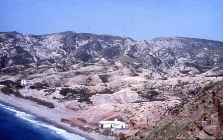
View to north-west across Aghia Kyriaki site showing the barren gullied terrain.
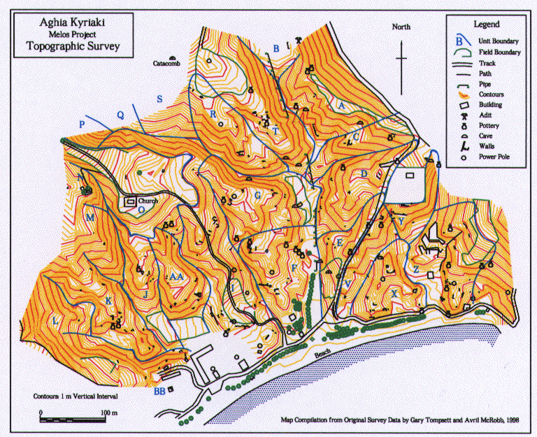
The topographic survey was undertaken and maps prepared by Gary Tompsett (Spatial Data Specialist) . The terrain is very complex being cut by deep gullies.
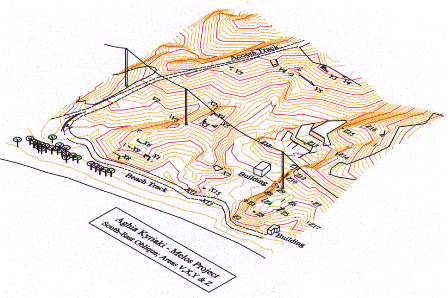
Oblique 3D view of eastern area of survey.
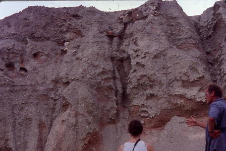
Some of the archaeological features are exposed in near vertical cliffs. In the above view looking westwards towards the steeply eroded side of a gully in the centre of the Aghia Kyriaki area, Guy Sanders is discussing the two groups of near-vertical amphorae (feature F5, in area F) seen to be buried in the sediment high in the cliff. A thin layer of scree partly obscures the section and the precise disposition of the vessels.
Reference
Photos-Jones, E., Hall, A.J., Atkinson, J.A., Tompsett, G., Cottier, A. and Sanders, G.D.R. 1999. The Aghia Kyriaki, Melos, Survey: prospecting for the elusive earths in the Roman period in the Aegean. The Annual of the British School at Athens. 94. 377-413.
----------------------------