

GALLANT RESEARCH PROJECT 1 - FLOOD ADAPTATION & RIVERSCAPES
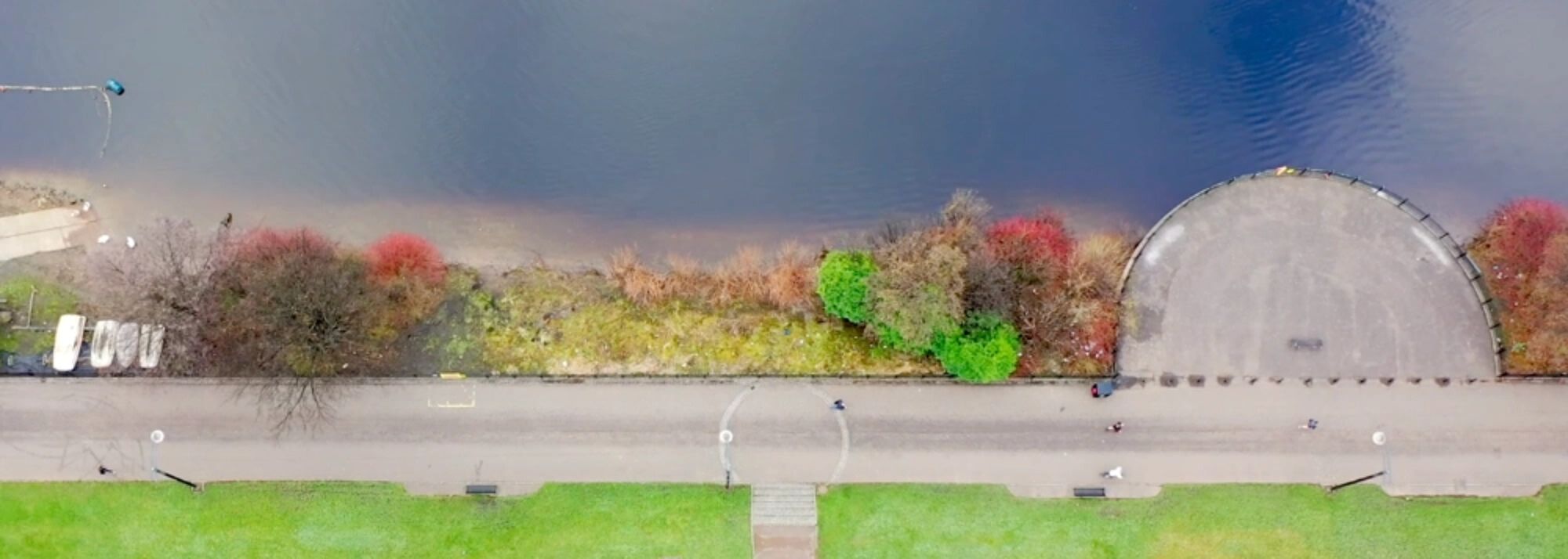
Addressing flood risk relating to tidal changes, sea level rise and increased water from extreme weather events.
Research Areas
- Geomorphology.
- Flood Risk.
- Adaptation.
- Climate Change.
- Sea Level Rise.
- Emergency Preparedness.
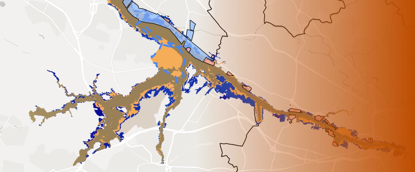
Interactive Flood Extent Maps
Explore GALLANT's mapping of projected future flood risk in Glasgow
Links
- Interactive Flood Risk Maps
- Contact: Prof Larissa Naylor (larissa.naylor@glasgow.ac.uk) and Dr Martin Hurst (martin.hurst@glasgow.ac.uk)